
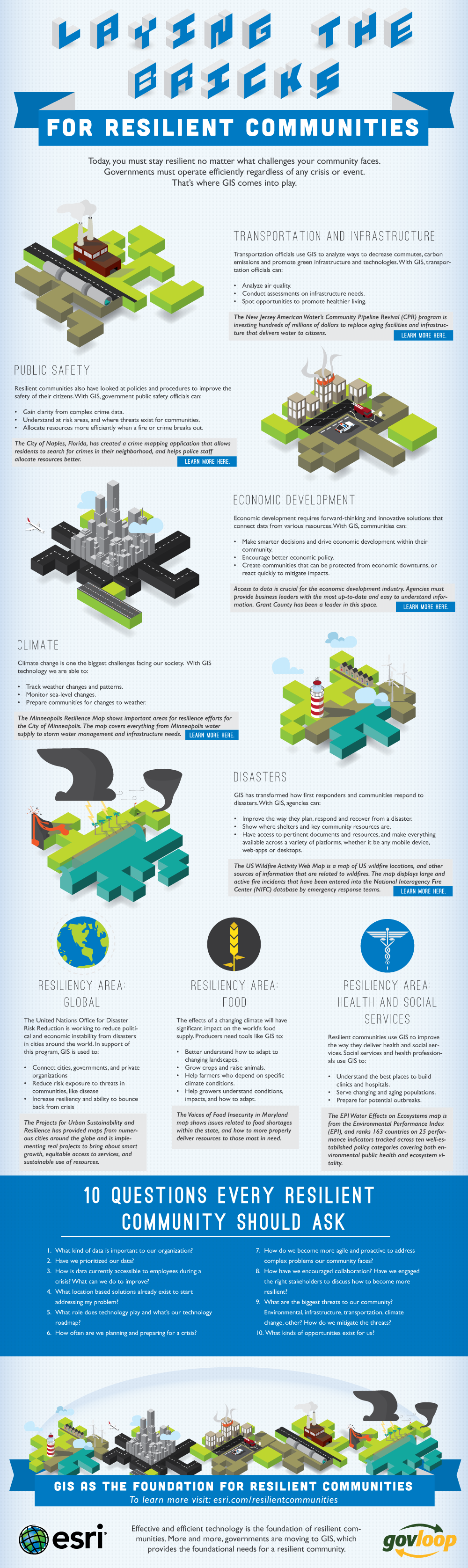
Today, you are challenged to stay resilient no matter what challenges your community faces. Governments must operate efficiently regardless of any crisis or event. That’s where GIS comes into play. GIS is an integrative technology, and seamlessly connects mobile, ECM and cloud to help gain a holistic view of the community, building more resilient communities. Our infographic explores how.

When Esri was founded in 1969, it realized even then that geographic information system (GIS) technology could make a difference in society. GIS helps people to solve problems at local, regional, national, and global scales. Access maps and apps at ArcGIS.com. Be sure to check out all the GIS resourcesproduced by Esri and GovLoop.


