
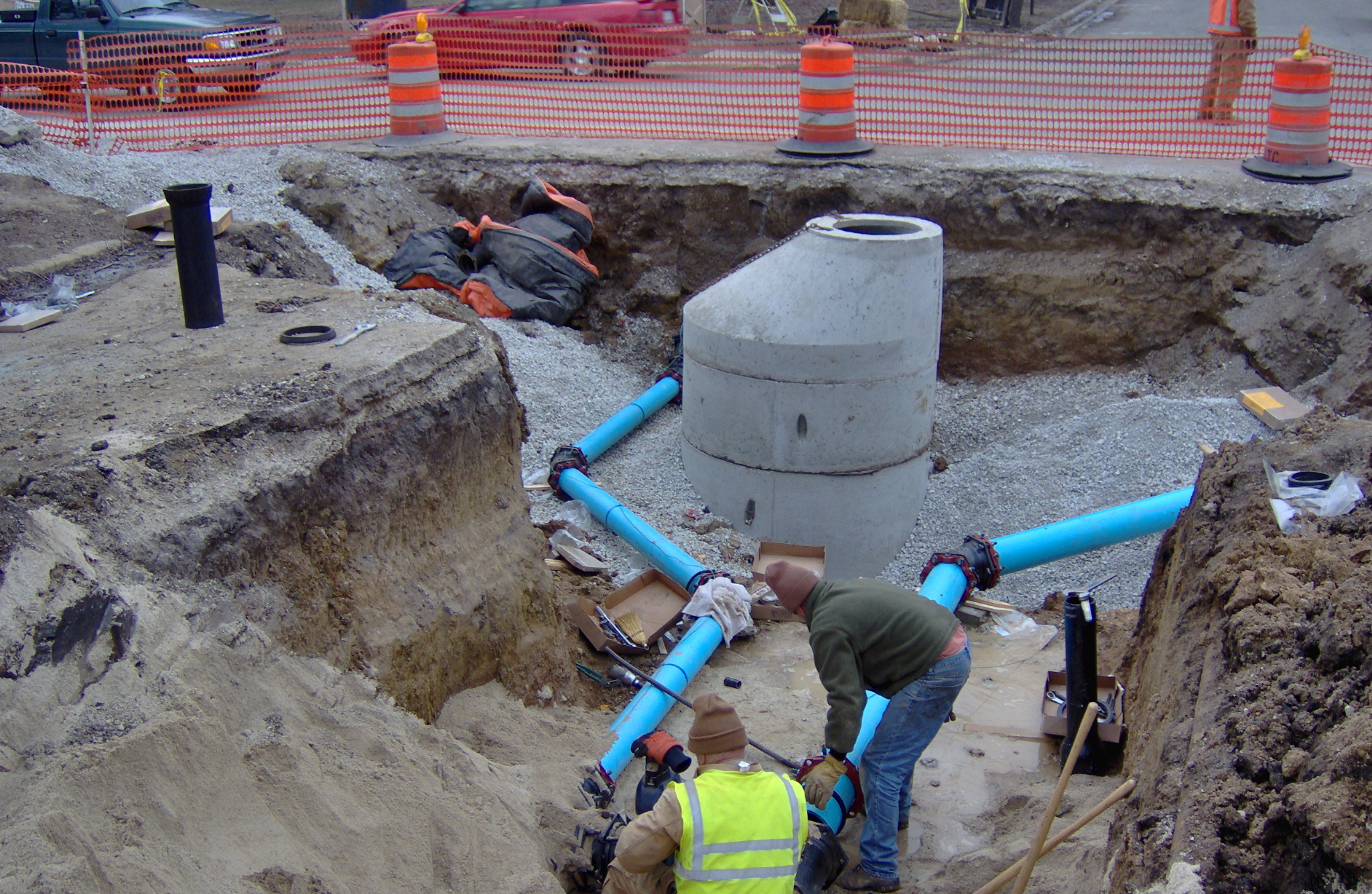
Augview, founded by Michael Bundock in 2012 in New Zealand, is the first commercial, mobile application I have seen offered to the public works industry allowing utilities to geospatially capture, store, and display underground utilities in 3D through the use of a tablet or other mobile device. The software, through the use of GIS, will show operators their water, sewer, or other underground lines superimposed in 3D upon the ground in a geospatially accurate position. Users can then query the lines as with any other online GIS and access data about that utility such as size, material, age, and any other type of stored data. Or if a locator finds a discrepancy in a line’s location or if he finds a new line, he can enter it into the software and immediately verify the updated or new location is accurate.
One example I can think of where I could have used this type of device was when we found a patched area in a roadway on one of our projects. It was one of those typical failures you find where you can see someone repaired something, but there’s still something going on because a small hole opens back up with a void underneath. A lot of times this is caused by a hole in a sewer which allows soil above the pipe to wash away into the line leaving a void under the pavement. I knew the city had a sewer running along the roadway near that area, and I noticed a water shut off box nearby in the parkway. Because in our area the sewer lines used to be run with the water lines, I suspected it could be a failure with the building sewer. The business owner came out to comment on it and mentioned there had been a problem there, but it was difficult for me to tell for sure from what she explained if it had been the city sewer or the building owner’s line. If I had Augview, I would have seen how all these lines related and where they were located. This visualization would have offered a better prediction of exactly which line could possibly have a failure. Of course public works professionals already try to make this determination using paper maps, but if it was the building owner’s line, it is much easier to explain the problem to them using a 3D representation of everything rather than expect them to read a utility atlas.
I would have also liked to have an application like Augview for management of our water network. Our crews could have used the application to document the valve position when they opened or closed it. Then we could have just driven by to see if we had opened them all back up after we repaired the break, or we could have noticed when a valve between our pressure zones accidently was opened.
It would also be useful to use Augview to look at non-utility data for something like visualizing roadway ratings in the field. Then each year when we went out to rate the roadways, perhaps Augview could color the roadway based on the rating we assigned the year before in our GIS. This would prevent us from juggling paper maps in the truck while we are trying to also view and assess the pavement.
Past articles on this site have also imagined one day a product like Augview could be used to assist contractors as they build by displaying not only the underground lines but actually superimposing the plan onto the site. And I don’t think it will be long before this type of implementation is extended to allow us to display real time data too. I can see one day we will be able to look up at the water tower and actually see the level of water in it or be able to see an indication at our water or wastewater plants of the flows running in and out and through each process. It would also be interesting to be able to drive by our lift stations and see the whole area colored red or green rather than just see the little red/green run light. This is also another facility that could display flows, seal failures, water levels or any other type of data.
While at the present time Augview has primarily been implemented in New Zealand, Melanie Langlotz, business development manager, said she is “also looking for interested parties in the U.S. who can see the possibilities.” So I believe it won’t be long before we see Augview in use throughout the U.S. and other countries.
You can find out more about Augview by watching the video below or visiting their website or other social media sites:
- Augview Website
- Augview on Facebook (you can see a lot of screenshots with examples on their page)
- Augview on Twitter
![]()
Leave a Reply
You must be logged in to post a comment.