
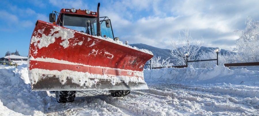
For many state and local governments, winter is a tricky season to plan for. It’s difficult to know, for example, where resources will be most needed or how much damage will be inflicted in the case of a severe storm. Developing a winter maintenance strategy is no walk in the park.
During the online training, “Winter Is Coming: Five Steps to Improving Your Winter Maintenance Strategy,” we talked with Christopher Thomas, Director of Government Markets, and Deilson Da Silva, Sales Enablement Engineer, at Esri. Esri specializes in empowering the public sector with geographic information systems (GIS).
Thomas shared several case studies where data-driven winter maintenance strategies have already been implemented. He frequently cited Boston, which offers free-to-access, real-time tracking of plows, crews and resources in a metropolitan setting, as a prime model.
But these capabilities aren’t limited to cities, he explained. Iowa’s Transportation Department implemented a winter operations system that recently won a StateScoop State IT Innovation of the Year Award. Others, like Madison County, Kentucky, which uses Esri’s Snow Common Operational Picture (SnowCOP) to monitor snow event response and coordinate vehicle locations with citizen complaints, have also made use of the technology.
Thomas broke the winter maintenance strategy improvement process into five steps:
1. Create and collect data
There are a few different paths a government could take to consolidate their information. The first is to use independently-curated data to predict weather trends and areas with the most need. This could come via sensors throughout a city or by monitoring social media feeds to see where citizens need help.
These data points can also be supplemented by using a weather service, like those from the National Oceanic and Atmospheric Administration (NOAA), which provides free weather forecasts and warnings. Governments can also opt to pay for a service like AccuWeather, which is considered premium but still affordable, Thomas noted. “It is very inexpensive,” he said. “It’s not going to break the bank.”
2. Apply data and analytics to everything you do
The next step is to put these data points to use. Thomas recommended that government bodies pull demographic data or analyze historical data to identify the most vulnerable populations or neighborhoods. An effective evaluation of the data will help to properly allocate resources for quick snow and ice removal.
“You can see how being able to alter the way you do things in real-time and deliver a superior service level can be really advantageous,” Thomas said.
3. Embrace communication
Communication is a two-way street in winter maintenance strategies. It’s crucial that cities, counties and states make use of potential external sources of helpful information.
For example, Esri’s ArcGIS tools allow governments to communicate with people in the field, and it allows those people in the field to send information back. If a plow truck driver comes across a downed tree in the the road, the driver can alert headquarters and make that information public.
“It’s almost as if they’re an additional sensor to what’s going on,” Thomas said, adding that a similar philosophy of crowdsourcing should be considered for citizens, too.
These tools also make it easier to publicly display the costs incurred during a snowfall cleanup. “It educates the public at a new level and gives them a great understanding of what a government has to do,” he said.
4. Use state-of-the-art planning tools
With Esri GIS tools, governments can merge live weather, traffic and other featured data in a comprehensive snapshot. This helps optimize the deployment process, bringing into action the most efficient routing and resource use.
Officials can also set up districts within the map to help plan for anticipated loads. Plus, those plans can be scaled situationally depending on severity of the weather event.
5. Make decisions in real time
Of course, all the planning in the world won’t guarantee a successful cleanup. For that, government officials need the ability to change plans on the fly, as conditions change.
Esri’s SnowCOP allows government officials to manage all facets of the operation. The dashboard allows stakeholders to monitor factors like plow locations, weather feeds and constituent calls as they come in.
“This is something that can be incorporated in real time in your operations every day, every week,” Thomas said. “The return on investment is significant when you start to rethink the way you do things.”
Da Silva concurred.
“Everything that you use for your snow operations can be managed by ArcGIS,” he said.
Interested in learning more about Esri’s winter management services? Visit go.esri.com/ebook-winter.


The training seminar sounds great, however I did not receive information on this event in time and therefore did not attend the on-line seminar. Is there another date being scheduled as a follow up?
Hi Gil, you should be able to watch the online training on demand by registering here: https://event.on24.com/eventRegistration/EventLobbyServlet?target=reg20.jsp&referrer=https%3A%2F%2Fwww.govloop.com%2Ftraining%2Fwinter-coming-five-steps-improving-winter-maintenance-strategy%2F&eventid=1520702&sessionid=1&key=D00657CDE3E5D696E0EF413A1EDD65B8®Tag=&sourcepage=register