
This blog post is an excerpt from our recent report with Esri, A Modern Approach to Public Health Preparedness. To download the report for free and learn more about public health GIS, head here.
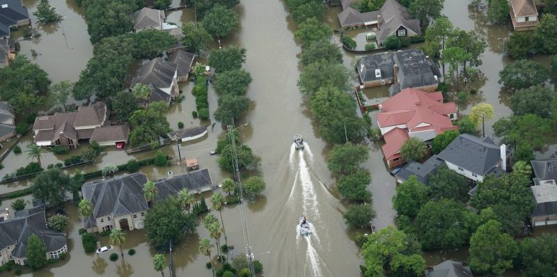
Preparedness staff face some of the most challenging trials of our time. They must plan for and ensure resilient, healthy, and safe communities in the face of ever-changing and increasing public threats like climate disasters, disease outbreaks, earthquakes or mass shootings. Not only must they prepare communities in the hypothetical event of these disasters, but they must help in the response and aftermath should any of these events take place.
But like many other areas in government, they face a maze of obstacles. Planning and coordinating emergency response and recovery strategies places a tremendous responsibility on agencies to make the best decisions under difficult circumstances. One massive challenge is the enormous amount of data. Agencies may be overwhelmed and unable to access or process the colossal amount of data they need to prepare and respond to public health catastrophes. There are often multiple sources of data; old data sets or an inability to bring together multiple data sets in a timely manner.
Getting true situational awareness to respond in a real-time manner to threats and their aftermath can be nearly impossible. That’s why preparedness staff need a collection of foundational data, supported by GIS, an enterprise platform, that is ready to go when a disaster strikes. They must pull together data from countless systems, into a single framework to make timely and crucial decisions. Geography is often the only consistent element for all of these data.
When a GIS platform is created and accessible, agencies will be able to create information products that will help them answer the questions they’re facing and the decisions they must make.
Leveraging an enterprise GIS technology platform can help public health preparedness planners meet the six preparedness domains, as defined by the Center for Disease Control’s Public Health Emergency Preparedness Program. The six domains are community resilience, incident management, information management, countermeasures and mitigation, surge management and biosurveillance.


Leave a Reply
You must be logged in to post a comment.