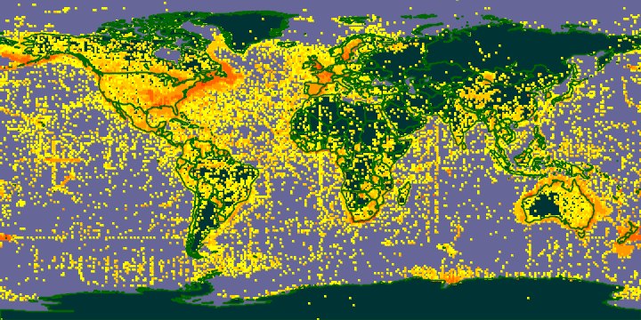
Citizen science, also known as crowd science, is an underrated method for scientific discovery and most people don’t understand its impact. Officially, citizen science is the name for scientific research projects that are conducted, in whole or in part, by nonprofessional scientists. But how does it work?
Citizens are equipped with easy-to-use applications that allow them to collect new data while expanding the geographic coverage of a study. Scientific researchers use the crowdsourced data to enrich their own data sets for a more comprehensive view into their desired subject matter.
Citizen science projects are needed everywhere. National Geographic has a homepage designated to citizen science projects that anyone can get involved in. The Environmental Protection Agency is scouting volunteers to monitor and assess the water quality in communities across the nation. Volunteers are also participating in statewide bird counts through ornithological bird societies or counting horseshoe crabs at beaches in Delaware and New Jersey. All of the data collected from these projects can be georeferenced and used for spatial analysis.
Now, ArcGIS is helping to empower the geographic and temporal coverage of citizen science. Join Esri’s online training, Citizens + Science = Innovation Insights, September 23rd, from 1 -2 PM EDT, to learn how ArcGIS is improving citizen science. You won’t want to miss industry experts discuss the key elements to their success with citizen science projects.
You can expect to learn:
- How other organizations gather and process data from citizens
- How to collect location-based data for scientific discovery
- New ways to share results and effectively communicate complex concepts
The expert speakers include:
- Dawn Wright, PH.D., Chief Scientist, Esri
- Teal Wyckoff, Research Scientist, Wyoming Geographic Information
- Manoj Nair, Research Scientist, NOAA National Centers for Environmental Information
- Charmel Menzel, Solution Engineer, Esri
Learn more about the speakers and event here. Be a part of this exciting and informative webinar by registering today!
