Sorting through a considerable amount of commercial and open source satellite data to collect intelligence is a challenge for government agencies. As both public and private sector organizations gather more data, part of the goal is to better predict events and optimize processes.
These were among the topics of discussion during a presentation at Esri’s 2019 Federal GIS conference. Attendees heard from two Intelligence Officers at Geollect, a company that provides advanced geospatial analysis for agencies and businesses. While their examples dealt more with the private sector, government agencies can apply their take on data analytics and intelligence to their own endeavors.
William Hillman first presented a product that maps claims data for piracy incidents on ships. Claims can be viewed spatially and also temporally, or in terms of when those incidents occur.
“For some of our clients that work in the maritime domain, this is really important intelligence,” Hillman said. For example, insurance companies could use this data when setting premiums in high-risk areas for piracy.
Users can observe changes in data year-to-year and track social reporting of incidents in the area, too.
“This is how you build up your evidence and cast out your assumptions with more information that helps build more resolute assumptions,” Hillman said. “This is where decision-makers then start to act.” Users can begin to understand criminal behavior and track patterns in activity prior to, during and after an event.
Dr. Ryan Lloyd looked a bit more deeply into incidences of crime off the Gulf of Guinea to demonstrate how to pinpoint high-risk areas and when they occurred. Data sets can be combined to better verify accuracy and precision and then mapped on the coast.
“The user can track when the vessel was at different points in time to better understand criminal behavior,” Lloyd stated. “The shipping times can be mapped, and data points of incidents pointed out, so users can understand which areas are most frequented by vessels that are pirated.”
As the collected data increases, so does the ability of the client to use that data to fulfill a broader array of objectives.
“As we begin to build up data sets, that’s where the data science and machine learning techniques come in,” Lloyd said. “For example, a Panama vessel is traveling into a port on a Tuesday morning and it’s raining. What is its risk? And you quantify that. What sort of frequency of attacks should it expect? Those are all questions that we can answer through intelligence and data science techniques.”
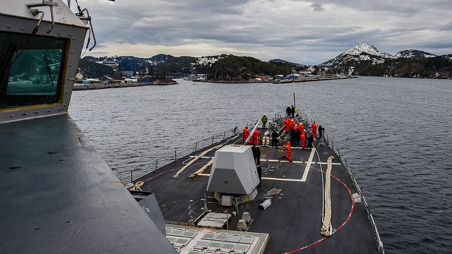
Picture Credit: U.S. Navy Flickr.


Leave a Reply
You must be logged in to post a comment.