
When Hurricane Matthew hit Myrtle Beach, South Carolina, it dumped 10 to 17 inches of rain and generated a storm surge that reached levels not seen since Hurricane Hugo in 1989, resulting in severe beach erosion all along the coast.
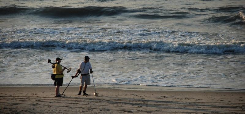
For Horry County, the impact of beach erosion can be severe. The coast, home to 60 miles of white sand and countless businesses catering to tourists, is known as “The Grand Strand.” It is the heart of the county’s tourism industry and essential to the region’s economy. Closed beaches mean lost revenue.
After the storm, the county was eligible for federal assistance to fund beach restoration. The application requires documentation of damage impact, which typically involves sending crews to survey the damage and develop cost estimates. When dealing with 60 miles of coast, it can take months to assess and repair storm damage, delaying beaches’ and businesses’ reopening.
Solution
Before the hurricane hit, the Horry County IT/GIS department had used drones to take pictures of its coastline. Now the drones took on a whole new mission: documenting and analyzing the storm damage.
Using ArcGIS to process those images, the county could capture the contours of beaches, making it possible to measure erosion and document loss much more accurately than surveyors could have done with traditional methods. Also, the county was able to submit its Federal Emergency Management Agency application in just two days.
The county also used the drone and GIS to note the location and size of debris piles, which helped the county plan its recovery efforts.
In preparation for future storms, Horry County officials decided to conduct another fly-over once the beaches were restored, establishing a new baseline for future estimates. The images, capturing the area between the dunes and the low-tide line, will serve as “before” pictures that they can compare to images taken “after” the next storm.
This article is an excerpt from GovLoop’s recent report, “Imagery Delivers New Insights for Smart Communities.” For more, download the full report here.


Leave a Reply
You must be logged in to post a comment.