We’re live! Today, GovLoop is hosting its Second Annual State and Local Government Innovators Virtual Summit, an all-day, virtual event with six different online trainings, networking opportunities and resources to help state and local govies do their job better. Be sure to read the other recaps here.
When you hear about smarter communities – a phrase often used to describe municipalities who are leveraging technology and data to strategically serve citizen needs – many people think of large jurisdictions like Los Angeles or Boston.
To learn how any community can become a smarter community, we heard from Christopher Thomas, Director of Government Markets at Esri, a geographic information system (GIS) solutions provider and partners. He explained how GIS can enable cities to become more responsive organizations, even if they lack the resources or technological know-how of their larger counterparts.
Define your own smarter community
Before Thomas described how to become a smarter community, he said it was important to define what we mean by smarter. For each municipality, their idea of “smarter” will be different, depending on their organization goals and citizen needs. As a local public servant, ask yourself and your department: Do you want to be more livable? More innovative? Healthier or sustainable?
If you aren’t sure where to start, Thomas suggested that cities focus on being more responsive. That means being more productive, efficient, transparent, and collaborative in order to meet citizens needs and desires. While this is arguably the goal of every city government, truly achieving that mission can be challenging without the right technology to monitor citizen behavior and direct countermeasures.
Four steps to building your smarter community
GIS, which leverages real-time locational data to drive insights and decisions, is one technology that can help cities become more responsive. According to Thomas, it’s not just the large and technologically advances jurisdictions that can harness the power of GIS to become more responsive to their citizens’ needs. In just four steps, any community can become more data-driven and responsive.
1. Use a world-class GIS platform. You’ll need a platform that can capture and store the data from your sensors, citizens, and even your own government employees. What’s more, you’ll need that locational data to be accessible in a way that is easily digestible yet malleable to specific use-cases. Esri’s suite of solutions, including executive dashboards and geoevent processors, plot data on interactive maps to provide both high-level insights and specific activity details.
2. Build a location strategy. Once you have connected your GIS platform to the myriad of sensors across your city (remember: even a mobile device or camera can be a sensor!), look at the mapped data your acquire. “Then, sit down and ask, ‘Where can I apply a responsive concept in different parts of my city?'” said Thomas. In some cases, you’ll be looking for locations where you lack data because that empty space likely intimates an underserved area of your city. In other instances, you might want to target the locations where significant data shows that there is a problem. For instance, if multiple negative social media posts are geo-located in the same area of your city, that’s probably where you’ll want to start your responsive campaign.
3. Deliver real solutions. “Find applications that will be meaningful to just about everyone in an entity,” said Thomas. In other words, pick projects that will make the largest impact for the most amount of people. Especially for smaller municipalities, it’s important to select initiatives that will deliver the most return on your investment since resources may be limited.
4. Develop strong partnerships. If you do lack resources, Thomas encouraged cities to seek public and private sector partners. These partners can also provide thought leadership and best practice to cities who are just getting started with GIS.” Really think about how far along you are. Adapt to the strengths you already have and mitigate what you don’t with partners,” said Thomas.
Thomas admitted that big cities often get the most attention for their innovations with GIS. However, he impressed that any city can become a smarter, more responsive community if they partner with others and deploy a robust GIS platform. Once you gain real-time insights into your citizens’ needs and activities, you’ll be ready to start taking action and making better data-driven decisions.
To access Thomas’ full presentation, view the on-demand training at this link.
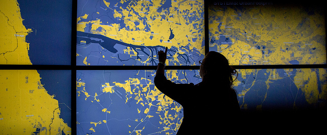
Photo Credit: Esri/kris krug


Leave a Reply
You must be logged in to post a comment.