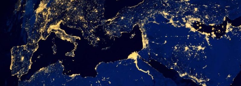
In our complex, interconnected world, even the emergencies that we face are constantly changing form. State and local governments across the country need a way to understand the complicated interactions between their citizens and their environment, which is where geographic information systems (GIS) come in.
At GovLoop’s online training, “Putting the ‘Where’ in Prepare: A Modern Approach to Public Health Preparedness,” Este Geraghty, Chief Medical Officer and Health Solutions Director at Esri, and Jared Shoultz, Health GIS Patterns Specialist at Esri, talked about how GIS can be used to help achieve a location perspective. The entire field of public health preparedness relies on geographic awareness, according to Geraghty.
There are so many stakeholders involved in every response that it can be difficult to keep up with outdated methods. Because of that, there is an ever-present need for understanding and collaboration.
Change can be hard and modernizing can be a challenge, so agencies may ask the question: Is this really necessary now? It is. Threats to our health and our security increasingly crop up every day, and they are getting more and more expensive to take care of.
All in all, climate disasters alone cost this country $1.6 trillion, according to Geraghty, and that doesn’t include the cost to lives affected by these disasters. While the U.S. does better than other countries, the government is not as prepared as it could be.
In 2018 alone, the country saw wildfires, hurricanes and devastating mudslides, in addition to disasters outside of climate, like the opioid epidemic and the homelessness crisis.
“This is also about being ready for the more routine day-to-day work, like planning resource allocation,” Geraghty said. “No issue is too big or too small to address through a geographic lens.”
Geography matters when considering public health. Where people live greatly affects their personal health and outcomes.
GIS provides a framework for applying geographic knowledge to solve problems. A GIS allows agencies to collect and manage data, visualize and map data, and collaborate more efficiently.
The first domain of preparedness is community resilience. An agency might start by mapping all historic standards or patterns of illness. Then it can move on to the assets that could be impacted. Being resilient requires an understanding of the population, as well. GIS can help with this effort by reducing the complexity, time and cost required to rapidly assess health needs.
The second domain is incident management, which involves creating a common operating picture to coordinate teams and create a cohesive data source with all stakeholders.
“The ability to track where your people are in the field is important to coordinate a seamless response, to optimize who you send where so that folks don’t have to take their hands off the wheel but can navigate seamlessly,” Shoultz said. “Tools like Explorer for ArcGIS really help create that integrated experience.”
The third domain, information management, involves making sure people have sufficient information to make an informed decision. Data is key in an emergency, and different types of data are often needed. Geography provides a consistent element to allow for data insights.
A GIS system can pull in any type of data; it’s flexible enough to meet any kind of data need. Even if the agency believes it doesn’t have enough data, it can tap into the data provided by a large community of ArcGIS users. There are over 100,000 data layers that are already geo-enabled for use.
The fourth domain is countermeasures and mitigation, or getting supplies and medicines where they are needed. Medicine is important to counter health crises, but where should those medicines be delivered and stored? Getting a good sense of where resources are required improves decision-making.
The fifth domain, surge management, involves expanding services in the face of calamities and identifying and fulfilling anticipated gaps if an emergency were to occur.
The last domain is biosurveillance, which is centered on looking into and identifying health threats. This is more of a forecasting domain, because it involves scanning and discerning the environment and integrating applicable information.
A good example of effective GIS preparation is the city of Tempe, Arizona, which is putting out probable EMS calls in a dashboard to track opioid abuse.
How does your agency use GIS? Let us know in the comments below.


Leave a Reply
You must be logged in to post a comment.