

When Hurricane Ian made landfall in North Carolina in September 2022, Mark Wittenburg had been the City of Raleigh’s chief information officer for two weeks. Sitting at the kitchen table in his new apartment, Wittenberg accessed a dashboard on his computer that displayed real-time data and maps monitoring stormwater levels, road closures, lake levels, and emergency response. In the following hours and days, city departments used this information to understand and respond to the needs of residents.
“It was fascinating to watch, as the storm came in, how we were pulling all of this data in this dashboard. It was great to see how partnerships were being applied in the community,” Wittenburg said.
This situational awareness was critical in an emergency, but it was also part of the city’s strategic, long-term vision that extends beyond disaster response. Raleigh has deployed mapping and data analysis capabilities across departments and agencies via enterprise-wide access to geographic information system (GIS) technology. Now, staff across the city can use GIS to collaborate, sharing data and analysis while improving decision-making, efficiency and public engagement.
An Interconnected System
The City of Raleigh developed a GIS department in 1991. Decades later, GIS is fundamental to the city’s strategic plan with key focus areas including transportation, economic development, natural resources, health and safety, and arts and culture. Based on this plan, the city’s enterprise GIS team develops and maintains tools that first responders, civic offices and service departments use to answer requests and dispatch resources.
The enterprise GIS approach lays a strong foundation for the city’s long-term success, providing the crucial context of location. “As we start to look at something like asset management — an asset is a thing you have to maintain, it has a lifespan, but it has a geospatial location — being able to tie all that information together to understand, as those assets age and begin to fail, how that impacts the rest of the system,” Wittenburg said.
City employees across all departments can access GIS tools to improve citywide operations. During regular meetings and workshops, teams share their projects and methods to show how the technology has helped and what is possible.
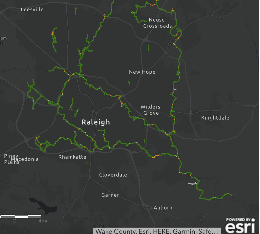
For instance, when the transportation team revealed machine learning workflows that monitor traffic flow, the stormwater team asked if they could use a similar automated approach to determine if water was collecting in intersections. With GIS, the answer was yes.
A Plan for the Future
The city has already seen success since implementing enterprise-wide GIS and giving every department access to location intelligence.
- The technology allows staff to use an equity lens on city decisions. This led to the creation of equity indices that all departments can use to weigh where funds are spent.
- To show what the city will look like in the future, GIS-powered digital twins, virtual representations of physical objects, are created to help residents visualize planned buildings and development.
- GIS dashboards track progress on the city council’s policy priorities, including affordable housing, climate risk and strengthening multimodal transit connections.
A dashboard of bike share availability, for example, is one step toward encouraging alternative modes of transportation. “Knowing where bikes are is interesting,” said Jim Alberque, GIS and emerging technology manager. “But knowing where bikes are in relation to buses, or bike lanes, or other asset data is the real power of the system.”
The city recently partnered with Esri to develop the Raleigh Geospatial Strategy. The plan is to build a modern, scalable geospatial platform that can continue to provide reliable and innovative geospatial capabilities to enhance situational awareness, decision-making, and outreach to residents.
“Everybody should be geo-enabled,” said Beth Stagner, the city’s director of enterprise applications and data. “GIS is part of the work of all city employees, because most of what we do is tied to the ground, to areas and regions.”
Christopher Thomas is the director of government markets at Esri and a founding team member of the Industry Marketing Department. Prior to joining Esri in 1997, he was the first GIS coordinator for the City of Ontario, California. Thomas frequently writes articles on the use of GIS by government.
To learn more about how state and local governments can take a geographic approach with modern GIS tools like real-time dashboards, visit esri.com/en-us/industries/state-local-government/overview.


Leave a Reply
You must be logged in to post a comment.