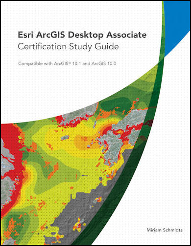
I recently completed the Esri Technical Certification Skills Review for ArcGIS Desktop. It was an online, instructor-led, two-day class in preparation for taking the certification test. To say the least, I have some catching up to do. I would like to talk about staying current in GIS through training and utilizing multiple platforms to acquire skills, knowledge and trendsetting news.
Often, in our daily tasks, using highly-specialized software, we tend to be on auto-pilot. Our tasks become so repetitive, rarely do we explore other built-in features of the software. Unless you are in an environment that fosters innovation and creativity, you tend to stick with the routine and get the job done. If you are inquisitive like me, then you ‘hunt’ for new features and capabilities that hopefully, make completing your tasks more efficient. By staying current in GIS through training, you may find a tool that may help you, your department or the citizens. The ability to use alternative analysis or simply viewing data in a more visually appealing way, is often appreciated and professionally gratifying.
The training class was definitely a refresher on concepts that I learned in college, back in the day. A brush-up on dusty skills and more importantly, I was able to tap into features of ArcGIS 10.1 (10.3 is on the way!). While I may have been aware of some of these features, I had not had the opportunity to use them in my current position. However, I have been brainstorming with a co-worker. I may actually be able to assist another department with their analysis and data maintenance. Staying current in GIS through training affords new opportunities to hone your craft!
Another great way to stay apprised in GIS or your chosen field is by attending conferences and user group meetings. I also keep up with trends and seeing how others utilize GIS by subscribing to a whole host of online blogs (GIS Lounge), magazines (Directions Magazine), publications (ArcUser) and of course GovLoop! While I may not be able to read every article, I come across some really cool information and a wealth of tips.
Lastly, staying current in GIS by enrolling in FREE online courses and attending webinars. I am currently enrolled in Coursera’s Geospatial Intelligence & the Geospatial Revolution MOOC given by Penn State’s Dr. Todd S. Bacastow. I enjoyed and learned so much taking Dr. Anthony C. Robinson‘s (also of Penn State), Maps and the Geospatial Revolution, I purposely keep up with what Coursera offers in my field. So far, the Geospatial Intelligence class is very informative and has exposed me to alternative uses of GIS and career paths. They are also offering an introduction to Python programming in February!!
The gist of staying current in GIS or anything that interests you is the willingness to learn. I am a firm believer that everyday we learn something new. As we attain new knowledge, we grow. We become more valuable, more confident and more inclined to lend a helping hand.


Leave a Reply
You must be logged in to post a comment.