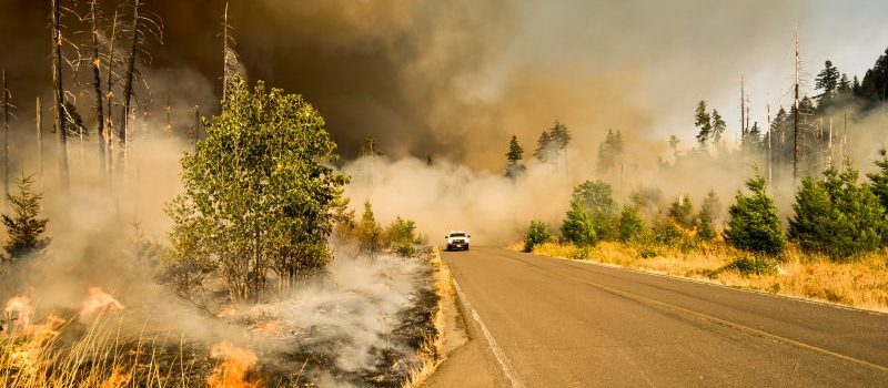
From wildfires to hurricanes, at times it can feel like each day holds a new natural disaster. And if the effects of climate change continue to worsen, as researchers expect them to, the frequency of catastrophes will likely increase with them.
So what can we do to assist the Health and Human Services workers who are tasked with recovery efforts? How can we minimize damage to a community? Geographic information systems provide one possible answer.
Experts discussed the issue during GovLoop’s recent online training, “Confronting Catastrophe: The Role of Health Professionals During and After Crisis.” Esri’s Este Geraghty, Chief Medical Officer and Health Solutions Director, joined Jess Neuner, ArcGIS Solution Engineer, and Jared Shoultz, Health GIS Patterns Specialist.
“I truly believe that GIS is the only technology that actually has a shot at being able to address those very challenges that you and I are facing as individuals, and within our work environments,” Geraghty said.
Geraghty and company broke the training into six public health preparedness domains, as laid out by the Centers for Disease Control and Prevention. Using a mix of real-world case studies and possible future applications, the experts explained how GIS could assist in all.
1. Community Resilience
Somewhat by nature, the immediate strengths of GIS technology lie in identification and location. GIS maps can help pinpoint health facilities and resources, for example, both for emergency responders and the public. They can also show more clearly where vulnerable populations — like children, seniors or special needs people — are living.
By using the CDC’s Social Vulnerability Index, Esri’s ArcGIS becomes an extremely valuable tool, complete with troves of information on external stresses on human life.
Neuner outlined the way in which Esri’s GIS maps can help a community understand its own strengths and weaknesses.
“The information captured in the community resilience survey can be used as input to the community resilience solution, where the asset will be assigned a resilience score,” Neuner said.
2. Information Management
GIS can also play a crucial role in managing a variety of information that can assist emergency personnel. Sometimes geography is the only consistent element to allow data integration.
“Taking advantage of imagery can be very useful to quickly assess problem areas,” Geraghty said, which helps speed up response times.
3. Counter-Measures & Mitigation
Further, the technology can help determine need and an appropriate course of action.
If officials know that a certain area is particularly asthma-prone, for example, that could play into emergency services’ response to a wildfire. Maybe rescue personnel would arrive with inhalers at the ready.
“If everything was the same everywhere, decision-making would be easy,” Geraghty said. “But that’s clearly not the case. And that’s why geography is so fundamental. Assets and disparities are distributed unequally in our world. The only way to even the odds is to consider and mitigate the impact that geography is having.”
4. Surge Management
Before Hurricane Irma touched down in Florida, officials urged residents to learn their evacuation zones, so they could more quickly leave the area if their number was called for.
In Pinellas County, citizens had access to maps that showed the location of shelter sites, special needs shelters, evacuation areas and evacuation routes. Citizens could enter in their address and quickly search for shelters within a specified distance from their house.
“In case you’re wondering, people used this app extensively across the state,” Geraghty said. Millions sought out their evacuation zones in September.
5. Biosurveillance
GIS can account for all kinds of data inputs, and can help officials easily pick up on patterns. Geraghty noted GIS use for locating Aedes mosquitoes, which can carry and transmit dangerous viruses.
And it can help draw in more information passively, too, through social media.
“The wisdom of the crowd can contribute information that might not otherwise be captured in our calculations and predictions,” she said.
6. Incident Management
Lastly, GIS helps to develop a common operating picture to align and coordinate teams. And that’s important, because no matter how good the maps are, they won’t matter unless HHS workers are empowered by them.
Improvements to efficiency won’t happen overnight, though. They require consistent effort to learn how to use the technology seamlessly.
“If you believe as I do that GIS is a key tool for addressing health challenges, then you should be like a professional athlete with your GIS,” Geraghty said, “training and drilling on it until it becomes second-nature to connect to a data source.”


[…] posted on GovLoop by Joe […]