
The commercialization of drones and the integration of drone technology and geographic information systems (GIS) have removed past barriers of imagery cost and availability and changed how departments can practically use it.
Now, agencies can capture imagery on demand, visualize and analyze it, and integrate it into their everyday workflows, shaping day-to-day decisions and long-term planning alike. Imagery helps build smarter communities – using data and technology to modernize workflows, enable data-driven decisions and improve communications with elected officials and the public.
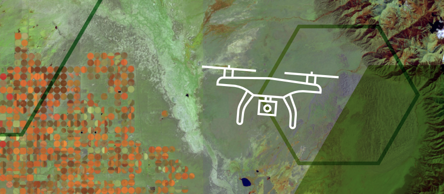
The Onondaga County, N.Y., Water Authority (OCWA) began using drone technology to inspect its water tanks, and found drones gathered more information, captured imagery faster and even saved the authority costs on each inspection.
OCWA. oversees 2,200 miles of water mains — that is, primary water pipes — and 58 water storage facilities. The system, which serves about 350,000 customers in portions of five counties in central New York, delivers 39 million gallons of water each day, drawing water from Lake Ontario and Otisco Lake.
Until recently, OCWA’s process for inspecting the water tanks was slow and inefficient. One of the basic challenges was geography: There was no quick way to survey 58 tanks spread across so much territory. And the inspections themselves took time and were risky, with crews having to climb up and repel down each tank. And once the inspections were complete, the field staff needed to make their reports.
Geography also presented challenges in other areas, such as monitoring the lakes’ water quality.
Onondaga County’s Modernization Results
OCWA decided to modernize its systems and workflows to increase efficiencies, mitigate risks and share information, beginning with the workflow methods for tank inspections. Above all, they wanted to reduce the time and labor needed to inspect the tanks. The first part of the solution was drone technology.
Using a drone to inspect tanks, they could complete each inspection much faster and safer. They also found that they could gather more information because the drones, equipped with high-resolution cameras, can see more details than a human can. The drones can capture imagery on every inch of even the largest tanks in less than 20 minutes.
The second part of the solution is the software: Drone2Map for ArcGIS, which captures the images for analysis. Because the software connects to OCWA’s mapping portal, the agency can visualize and share the data with various stakeholders through web maps and apps. Altogether, OCWA says that it now saves $6,500 per tank inspection.
Finally, drones provided OCWA with a new way to assess water quality at the lakes. The high-resolution camera can peer 10 to 12 feet beneath the surface of the lakes to look for algal blooms or invasive species. As with water tank inspections, conducting drone-based inspections is much more cost-effective than sending out an OCWA crew, especially for parts of the lakes that are difficult to access.
This article is an excerpt from GovLoop’s recent report, “Imagery Delivers New Insights for Smart Communities,” download the full report here to explore the intersection of imagery and geographic information systems (GIS), and how it helps governments fulfill visions of becoming a smart community.


Leave a Reply
You must be logged in to post a comment.