
Interested in an overview of modern data issues that summed up 2020? Download GovLoop’s data quick-tips resource to look through the major trends, or download the full report for more information.
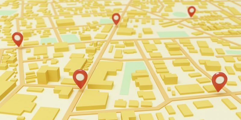
Hard to miss in the data rush of the pandemic has been the explosion of geospatial information.
In the past, state and local agencies especially depended on geospatial data to coordinate community programs, emergency responses and location-specific services. But to combat the spread of an infectious disease, which requires contact tracing, geospatial information has shown what feet on the ground or eyes in the sky can’t. Contained in GIS, location data is powering responses and targeting resources to the most impacted areas.
“The geospatial community understands the value of authoritative data and high-quality data and data with standards,” said Kathryn Helms, Oregon’s Chief Data Officer (CDO).
Helms said when Oregon created her position in January 2019, the state geospatial team had already established standards and identified data elements. These practices had earmarked wildfire mitigation as a data-led effort before COVID-19.
Geospatial data has been crucial to targeted state and local COVID-19 responses. It can also be a boon in planning for and reacting to natural disasters and other unexpected events, as well as discovering disparities in funding and resources.
Geospatial data is also crucial to creating dashboards that break down information by location. One of Helms’ staffers is using data about COVID-19’s spread at community nursing homes to create dashboards for the Oregon Health Authority.
“We’ve seen how critical location is to this and understanding deeper issues,” Tyler Kleykamp, Director of the State CDO Network, said.
With GIS, agencies can analyze deeper issues. Whereas raw data shows that Black and Latino people have had significantly higher rates of COVID-19 than other populations, it doesn’t reflect the reason. GIS can give the case-specific why, offering information down to the block to pinpoint hotspots.
Geospatial data could, for example, uncover an overcrowded nursing home that spread the outbreak in one of those neighborhoods. Then, agencies could go about remedying the issue by providing more sanitation resources or assistance.
“People are starting to make assumptions about comorbidity based on race. But really when you unpack that a little bit more, and look at more granular geographic areas, it might be there’s a lot of public housing in that area,” Kleykamp said. “Or there might be more essential workers in a particular area that are disproportionately around communities of color.”
Kleykamp said he hopes states put more emphasis on mapping going forward to defeat intractable problems that outlive the pandemic.


[…] location data has prominently featured in tracking the spread of COVID-19, identifying hard-hit areas and coordinating recovery efforts. Data dashboards have gained entry […]