
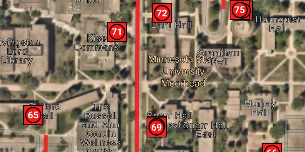

A work group that manages its data well can quickly transform from uncoordinated to efficient and proactive. That is the lesson the staff recently learned in Moorhead, Minnesota, when the city’s fleet division decided to modernize operations and improve data governance.

Before this upgrade, staff members faced challenges in accessing timely information needed to support the community of roughly 46,000 residents. Limited visibility into fleet data affected the city’s ability to efficiently manage its nearly 800 vehicles — including snowplows, sanitation trucks and other essential equipment.
Information silos and disconnected workflows made it difficult for teams to identify needs, coordinate repairs, and manage key administrative workflows. And when mechanics worked on vehicles in the field, limited access to parts information meant they often had to return to the office to continue the repair, creating further slowdowns.
Reliable fleet operations are critical for delivering services residents depend on every day, from snow removal and waste collection to emergency response and public safety operations. The city had data about its vehicles and ideal maintenance schedules but lacked the data management and visualization they needed to make the information valuable.
“It was a state of confusion,” said Michael Krueger, who manages the city’s enterprise assets and its new geographic information system (GIS) technology. “We were collecting all this data, and none of it was useful for our staff. All of our systems were disconnected.”
Location Intelligence Turns Confusion to Clarity
Led by Krueger and the GIS and Asset Management team with support from fleet and facilities leadership, the department set out to create a more connected view of fleet operations. By bringing maintenance, asset, and operational data together in a single environment in 2025, staff gained visibility into information that had previously been scattered across disconnected systems.
There was one other important reason for choosing GIS technology: It would eliminate the need for multiple systems.
The city chose ArcGIS Online, a software-as-a-service enterprise GIS platform. It can be seamlessly paired with many asset management systems including the department’s deployment of Elements XS by Novotx.
Through Elements XS, local governments and utilities can receive work orders, customer requests for city services and permits, and handle other requests directly within an ArcGIS environment.
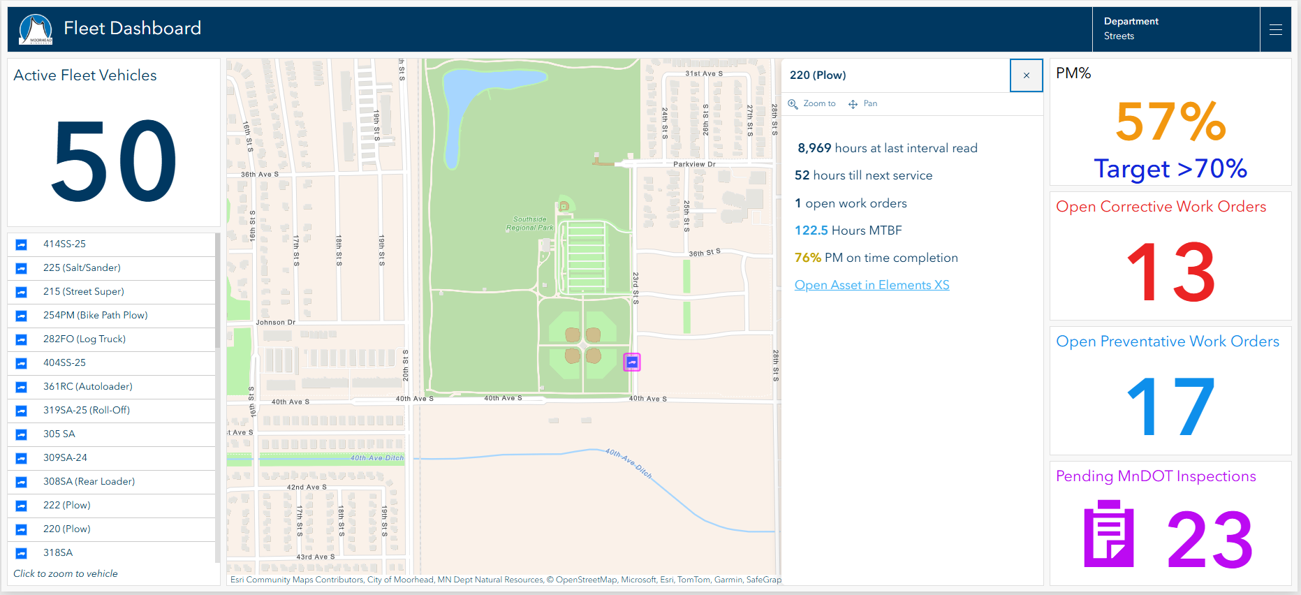
Equally important, ArcGIS and Elements XS work together without a need to write code to sync the applications and data. This also eliminates the need to re-link those systems with every software update.
This range of new capabilities allows Moorhead team members to collaborate in a more efficient, coordinated way, which means they can better deliver services to the community.
“Our emergency services, wastewater operations, and public works — all of their vehicle and equipment maintenance goes through the shop, whether it involves scheduling with an outside contractor or completing the repairs and turning the wrench right there in our shop.” Krueger said.
Equipped with new tablets that give them direct access to the ArcGIS and asset management interface, city mechanics have now become a mobile work group.
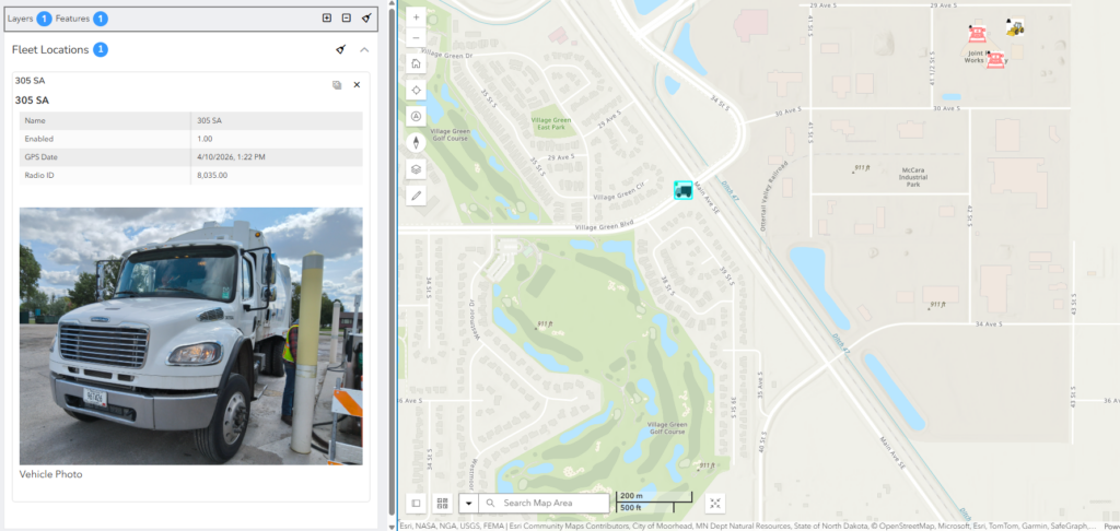
When working offsite, they can see a dashboard with maps that show the location and movements of the city’s entire fleet of sanitation trucks, snowplows and public works vehicles. This makes it easier to navigate to unfamiliar parts of the city and find disabled vehicles when repairs are needed.
Staff can also see photos of the equipment, repair and parts histories and service manuals. With a few taps on the screen, they can order fuses, filters, or other items. Then they move on to the next job without making a trip back to the office.
“We were able to tear down all the data in our old system and just make it easier to work with,” Krueger said.
Automated notifications have helped the division address another persistent challenge: keeping up with preventive maintenance. Regular oil changes, hydraulic filter replacements and transmission service keep vehicles running and extend their life, improving fleet performance and delaying replacement costs.
By making preventive maintenance easier to track and schedule, the division can reduce unexpected breakdowns, improve vehicle availability and extend the life of critical fleet assets.
New Insights Help Build a Future-Ready Department
Access to maintenance history, performance data, and repair costs gives managers greater insight into fleet operations. With better information, the team can evaluate when work should be completed internally and when outside services are appropriate, helping support budget and operational decisions. Records are readily available in the system on each vehicle, including data detailing age, condition and maintenance history. Staff across city departments can monitor vehicle safety and reliability with accurate, up-to-date information.
Keeping close watch over performance data has not just allowed Moorhead’s Fleet and Facilities team to modernize their vehicle maintenance workflows, it’s empowered them to anticipate and plan major investments for fleet asset replacements.
“We’ve already seen those huge dividends and the time savings for the front office staff and the gains in efficiency for our mechanics,” Krueger said. “I think we can continue to improve indefinitely.”
To learn how public works agencies can use location intelligence to improve maintenance, increase asset visibility, and make more informed investment decisions for fleet operations, visit esri.com/en-us/industries/public-works/focus-areas/field-fleet-management.
Adam Carnow is Industry Specialist — Public Works at Esri.



Leave a Reply
You must be logged in to post a comment.