
Why Geography Matters Now More than Ever
I would argue that a geographic mindset is core at solving some of our most complex problems. The advent of spatial technology has automated spatial problem solving. One of the most fundamental changes this technology has provided is that it has brought the principles of geography to the forefront of how we think about our problems. Spatial-based problem solving has enormous untapped potential to address some of our most complex societal issues. This shift is what I have been referring to as the ‘Spatial Renaissance.’![]()
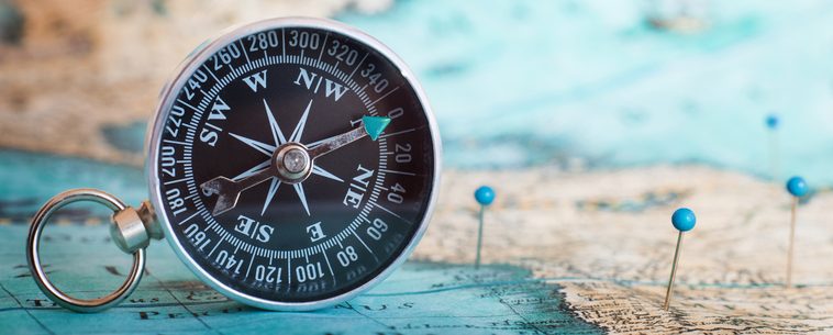
Why Maps?
Why does the world need great maps? Simply answered; there is something fundamental about understanding where we are in the world and what is around us. This tenant has been true since people etched maps on cave walls to communicate their whereabouts as they navigated the landscape. The map, which is a construct of artistic and scientific principles, seems to hold within it a universal language that spans languages and geographic barriers as a communication tool across cultures and languages.
The Spatial Renaissance
In the last 40 years, we have developed the ability to abstract geography in a computer as a digital map. This ability has changed how people think about and interact with the world around them. This ‘Spatial Renaissance’ has changed how we do business, how we interact with each other as individuals and how science/policy agendas are set around the world.
There are complete industries built around this fundamental shift in technology. As a result, we are seeing a rebirth in the age of discovery. While previous centuries used mapping and spatial reasoning to understand our planet, we are using these concepts to explore and analyze things at varying scale and detail. The consumerization of aerial and satellite imagery and the use of vector-based geographic data has allowed us the ability to develop accurate and very precise representations of our environment and behaviors.
Spatial Smog
Today, almost every aspect of our life contains some sort of mapping tool. Whether it is location-based weather services or finding available parking spots, the expectation is information delivered via map. Additionally, the spatial smog we are producing from all of our various mobile devices is inherently spatial. This requires the proper organization of this data in order for it to be effective in understanding complex patterns. The spatial indexing of data/information poses a unique opportunity to look at this world through a different lens. Think of the spatial smog you produce as a behavior footprint you are constantly creating in the environment. Where will this lead us next?
An Opportunity for AI and Machine Learning?
If you keep up on the tech industry, you will be familiar with the push towards AI and machine learning. As any good data scientist knows, data is the lifeblood of any system. If you do not spend the time properly engineering the data, any sort of analysis will fall victim to the GIGO model of data capture and, subsequently, poor data analytics. Machine learning is no different. The map is such a tool to deliver on this nexus of AI and geography and provide clarity of information about our environmental and social behaviors.
Garrett Dunwoody is part of the GovLoop Featured Contributor program, where we feature articles by government voices from all across the country (and world!). To see more Featured Contributor posts, click here.


I write a lot about GIS efforts in government and I couldn’t agree more with this great post! It’s so cool to be able to visualize, display, and locate information in ways you couldn’t imagine beforehand.
Thanks Catherine. I’ve been trying to consolidate my ideas on this subject matter and play out where it will be taking us next. Very multi-dimensional. I think I will try and do my next post on Spatial AI.