
Parks and open space are the lifeblood of a community. The question that always arises is how state and local governments can manage and maintain these open spaces while improving the overall experience for visitors. As park managers look for the best approaches, the concept of smart communities offers a framework that can address both current and future requirements.
The foundation of that framework is geographic information systems (GIS). GIS provides park managers with an unmatched means to understand their data and translate it into actionable intelligence that betters the community. Above all, the concept of smart parks makes it possible for park visitors to have safe and satisfying experiences.
Parks are applying technology to modernize their workflows, analyze park use and conservation concerns, and improve communication with elected officials and the public. The results are a more focused application of smart communities — smart parks.
Why Minnesota’s Three Rivers Park District Needed a Digital Transformation
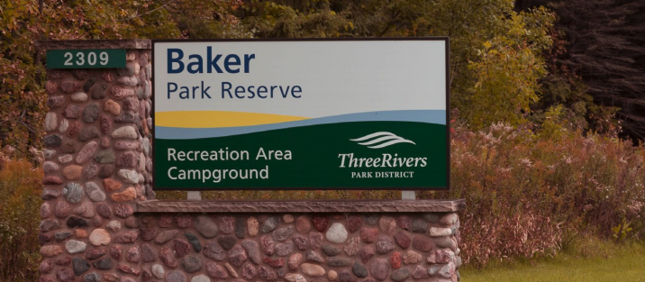
The Three Rivers Park District in Hennepin County, west of Minneapolis, manages more than 30 parks encompassing 150 miles of regional trails and recreational facilities. The district has a large staff to help manage this network of parks, including 500 full-time employees and 1,500 seasonal workers.
GIS has been an important management tool in the park district for more than a decade, but for many years, its impact was limited. Ten years ago, about a dozen employees scattered across the park district used GIS tools on an individual basis to manage their own data and perform individualized workflows.
“Our biggest goal is to make GIS as prominent a tool as Microsoft Office for the average person.”
-Chris Martin, Technology Director, Three Rivers Park District
The tools proved their value, but the park district had no way to scale their use, so it was missing out on the opportunity to develop a more comprehensive picture of management activity across the park district.
What’s more, the benefits of GIS did not extend to citizen science volunteers – nature enthusiasts who were willing to share their field observations with park managers. Such observations often arrived as notes scribbled on paper, which district staff then had to decipher and enter into a system.
How It Became a Smart Park
The park district’s GIS department transformed its operations by moving to a centralized GIS program that replaced the district’s disjointed system of datasets. Apps and data collection tools allow end users to gather information in the field and automatically feed it to the back office.
This approach expanded the use of GIS by park staff, seasonal employees and citizen scientists throughout the park system.
With the new system in place, the GIS department created web apps that volunteers can use to share their observations. The data is available to district staff in real time via operations dashboards.
GIS helps Three Rivers Park District manage:
-30 parks
-28,000 acres of land
-150 miles of regional trails
For example, as part of a wildlife management program, the district invited volunteers to report on the nesting activities of osprey and bluebirds. The web app guides users as they enter information, ensuring that their observation adheres to scientific standards.
A citizen science project like this serves two purposes. First, it enables program managers to track the health of the osprey and bluebird nests more closely than would be possible relying only on their own staff. Second, and equally important, it involves local residents in supporting one of the missions of the park district: engaging the community for environmental stewardship.
This article is an excerpt from GovLoop’s recent report, “Blazing a Trail to Smart Parks With GIS,” download the full report here to learn how technologies like GIS can help parks improve the efficiency of their operations and the management of their services..


it was interesting how the team make the GPS work to make the parks operated smoothly and also will be long run to stay open.