
![]() Having lived in Florida most of my life and recently experiencing Hurricane Florence up close at my current home in Charlotte, NC, I am intimately aware of the effect that natural disasters can have on people’s lives. Emergency Management is one of the most crucial services that government agencies provide to the public. Emergency Management is one of the best examples of the potential of GIS to support a government service.
Having lived in Florida most of my life and recently experiencing Hurricane Florence up close at my current home in Charlotte, NC, I am intimately aware of the effect that natural disasters can have on people’s lives. Emergency Management is one of the most crucial services that government agencies provide to the public. Emergency Management is one of the best examples of the potential of GIS to support a government service.
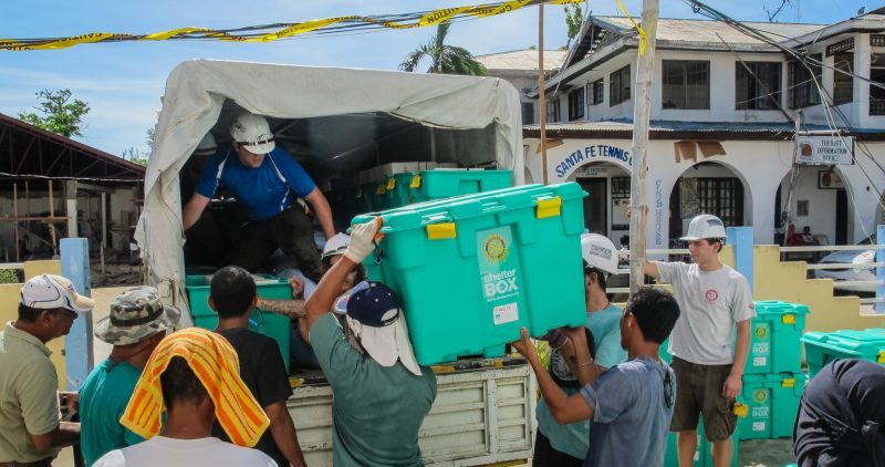
For both natural and man-made disasters, the emergency management industry has done a great job over the years of implementing GIS solutions to support their missions. These solutions cover all phases of emergency management – mitigation, preparedness, response and recovery – and they continue to advance and expand their use of GIS with each new technology development and disaster.
Emergency management agencies are taking advantage of all nine of the common business patterns that GIS can support:
- Mapping and Visualization – Understand locations and relationships with maps and visual representations
- Data Management – Collect, organize and maintain accurate locations and details about assets and resources
- Field Mobility – Manage and enable a mobile workforce to collect and access information in the field
- Monitoring – Track, manage and monitor assets and resources in real time
- Analytics – Discover, quantify and predict trends and patterns to improve outcomes
- Design and Planning – Evaluate alternative solutions and create optimal designs
- Decision Support – Gain situational awareness and enable information-driven decision-making
- Constituent Engagement – Communicate and collaborate with citizens and external communities of interest
- Sharing and Collaboration – Empower everyone to easily discover, use, make and share geographic information
These efforts include integration with other key enterprise systems like work order and asset management and crisis information management. They also include uses of newer technologies such as drones and 3D. One of the critical functions that GIS supports in emergency management is sharing and collaboration. In the event of a large-scale disaster, there are many agencies involved at all levels of government and the private sector. Cities need to communicate with other cities and counties, and they all need to communicate with state and federal agencies, non-profits and private sector partners. All this coordination is possible with GIS.
Here are just a few examples of the amazing ways that GIS is supporting the emergency management mission:
- This web app provides estimates of the affected population for Hurricane Florence based on the projected path and error cone. By clicking on the estimates at the bottom, you can see a more detailed breakdown. For instance, it separates dependent populations like children and seniors from the total population, as well as the households in poverty and educational and health/social businesses.
- Here is a more detailed analysis, a social vulnerability dashboard from Direct Relief.
- FEMA has their Hurricane Incident Journal that provides easy access to various resources they provide.
- This is a series of interactive dashboards used by the governor of Arizona to monitor and manage any emergencies affecting the state.
- This is an article about how IAFC and NAPSG worked with industry partners to deploy a single common platform for multiple agencies to use during responses to hurricanes Harvey and Irma.
- Here is an incredible video that shows how the American Red Cross uses GIS to be more effective.
- This article describes how the USDA uses GIS to geotarget public health and safety information to better disseminate it to the most appropriate press outlets.
- This web app allows you to explore before-and-after imagery showing the effects of Hurricane Florence on various locations across North Carolina.
- This web app collects and provides access to crowdsourced photos from various hurricanes across the U.S. in 2018, showing the effects from those directly experiencing the devastation.
While we can all appreciate and applaud this wonderful work from the emergency management industry, we can also learn from it. Those nine common business patterns mentioned above can be applied to any function of government agencies. We should all work to expand the use and benefits of GIS across all nine of the patterns in all government services, so that we may better support the missions of our agencies with this valuable technology. Reach out to your GIS staff and to those in the GIS industry to learn more about how you can make a bigger difference.
Adam Carnow is part of the GovLoop Featured Contributor program, where we feature articles by government voices from all across the country (and world!). To see more Featured Contributor posts, click here. You can follow Adam on Twitter or LinkedIn.


Fascinating piece, Adam. I can only imagine that application of GIS in emergency response will grow as we see more climate-related weather disasters. Been loving your insights on GIS and all of its many applications!