GIS

When “Full Coverage” Isn’t Full: Why Rancho Mirage Is Mapping Wireless Gaps

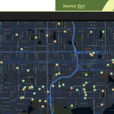
Rancho Mirage uses GIS to uncover wireless coverage gaps. The city’s maps of cellular performance helped residents understand service quality, guide infrastructure planning, and accelerate collaboration with wireless carriers to expand reliable connectivity across a fast-growing desert resort community.

Esri Public Sector CIO Summit

This year’s summit topics will explore how GIS is being used to drive agency outcomes, solve community challenges, and leverage GIS data to inform policies, plus so much more. Check out the agenda and event information.