Portland’s Compassionate Approach to Homelessness Using Mobile Mapping
Portland used a mobile GIS solution to address homelessness while providing information to the community via online dashboards.


Portland used a mobile GIS solution to address homelessness while providing information to the community via online dashboards.

In Kansas, the Overdose Response Strategy team leveraged GIS to combat the substance misuse health crisis.

Mapping and data analysis help Raleigh, NC, respond to emergencies and plan for the future. Learn how geographic information systems can improve city services.
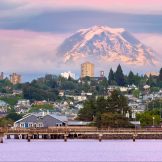
Tacoma adopted an Equity Index map to guide decisions on everything from small business loans to utility upgrades. Here’s how it works.

Montana’s Department of Natural Resources and Conservation employed maps and dashboards to add transparency to the distribution of economic stimulus funds.

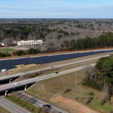
Maps and GIS analysis helped transportation planners and engineers in Louisville prioritize roadway safety improvement projects by identifying high-risk corridors and vulnerabilities in communities.

Using location intelligence, policymakers can see where current electric vehicle (EV) owners live, where charging stations currently exist and where to locate more chargers to promote EV growth.

A rural Pennsylvania community expanded broadband internet services using GIS.
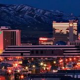
When the city of Reno launched initiatives to expand its economy and offset pandemic-related tourism declines, it relied on new technology: geographic information systems (GIS). Here’s what GIS do — and what lessons Reno has to share.
In Atlanta, one nonprofit is using geographic tools help locate and analyze often overlooked land within and alongside highways as sites for solar panel arrays.